Ascension Island Marine Protected Area
Established: August 2019
Location: 14° 21’ 29.3544”W - 4° 32’ 23.3478”S - 10° 56’ 5.8914”W - 7° 56’ 28.0134”S
Size: 445,000 km2
Website: https://www.ascension.gov.ac/map-marker/mpa-marine-protected-area
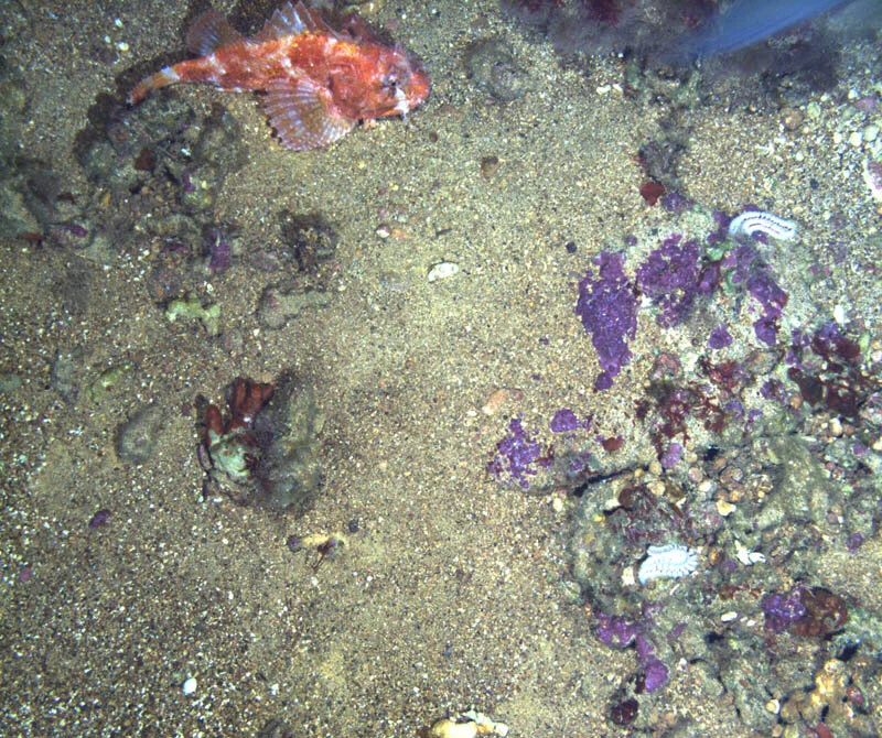
The Ascension Island Marine Protected Area covers the entirety of the Island's 445,000 km2 Exclusive Economic Zone. No large-scale commercial fishing nor mineral extraction is permitted anywhere in the MPA, providing a haven of protection at the very heart of the Atlantic Ocean. The MPA is vast and diverse. It encompasses shallow-water habitats, deep pelagic ocean, seamounts, and hydrothermal vent fields along the Mid-Atlantic Ridge. Eleven fish species thrive in Ascension waters and nowhere else on earth, and new species in other taxa are still being discovered in the MPA. The Island is also home to one of the Atlantic's most significant nesting populations of green turtles and over half a million breeding seabirds. However, the aim of the MPA is not to protect specific species or features only. Safeguarding entire ecosystems, the natural processes that support them, and the importance the ocean plays in perpetuating Ascension's cultural heritage is a priority. The sea encircling Ascension is relatively unaffected by human activity; the hope is that the MPA serves as an example to the world of what our global ocean should and could look like in the future.